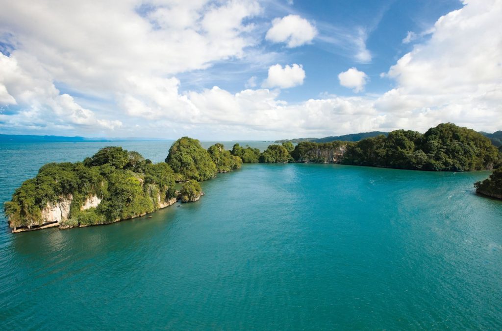
Los Haitises Park was declared a national park in the Dominican Republic through Law 409 of June 3, 1976, although already in 1968 Law 244 had created a Forest Reserve called the Los Haitises Banned Zone. The park is located in the northeast of the Dominican Republic, framed by the Samaná Bay, of which it is a part. Its limit and, therefore, its surface, of 3,600 km. Los Haitises National Park is located in the territories of the Provinces of Hato Mayor, Monte Plata and Samaná. Haitises means high land or mountain land, although the set of hills or «mogotes» have heights that range between 30 and 40 meters. From a hydrographic point of view, Los Haitises and its areas of influence comprise two regions: the lower basin of the Yuna River and the area of Miches and Sabana de la Mar. The Yuna drains through two mouths: that of the Yuna itself and that of the river Barracote. In addition, in the area are the Payabo, Los Cocos and Naranjo rivers, and the Cabirma, Estero, Prieto and other streams.

